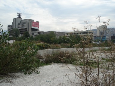
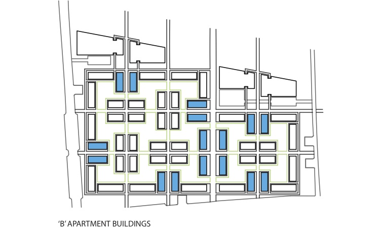
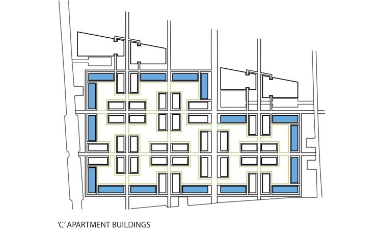
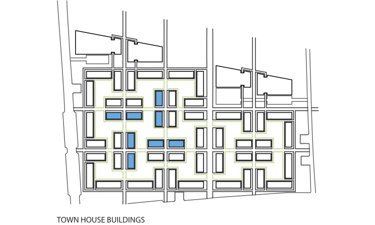
Urban Connection: Linking Similar Program Uses Through Urban Renewal The idea behind the project is to turn an old industrial, brownfield part of the city into a new, vibrant area of housing and recreation. The buildings that currently exist are run-down and abandoned factories; there’s also a lot of unused and underdeveloped space as well. The main focus became ways in which to connect the north and south sides of the city. The influences to the final outcome are based off of the program site forces. These forces include existing housing on the north and south sides of site, the historical television station, the industrial zone, and the recreational green strip east of the television station. Housing was added to complete the “housing strip,” and recreational areas and facilities were added to complete the “recreation strip.” Park space was created to enhance and bring recognition to the television studio area while additional commercial and industrial buildings were added or refurbished to compliment the industrial zone of the site. The housing blocks became the most designed area of the site. Ideas from the three different existing housing types (socialist-era, informal, and Austro-Hungarian) were implemented into the housing and block design. All of the courtyards that serve each of the blocks are connected through both pathways and additional green space. Commercial and retail areas were designed to go on the ground floor of those buildings that sit next to the main roads as well as the main pedestrian axis. The following are the final Site Plan and a few sections, followed by the process of this final iteration. Site Plan: 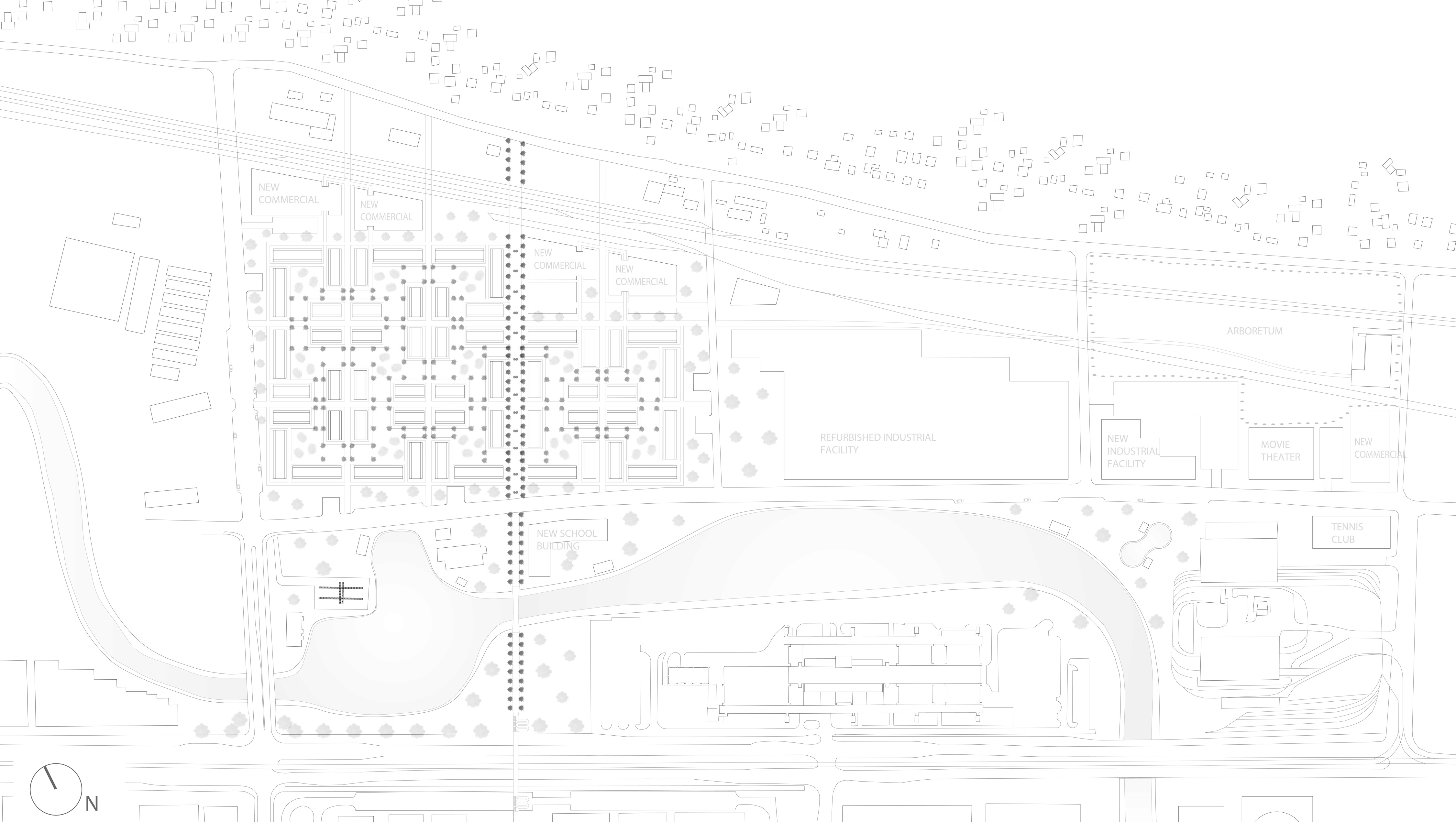 Section Through Main Pedestrian Axis:  Sections Through Housing Blocks: 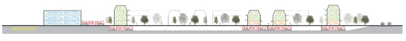  |
||
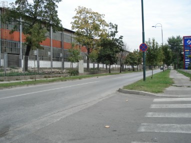
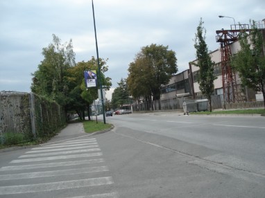
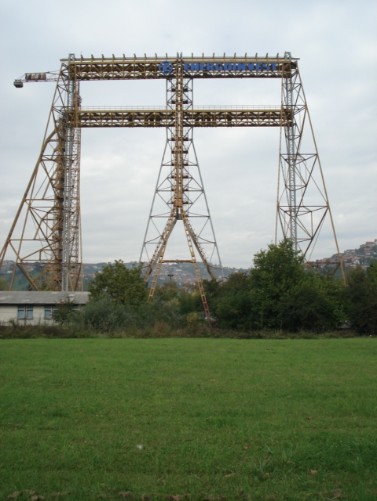
Existing Conditions: 
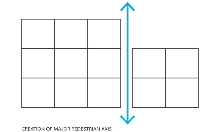
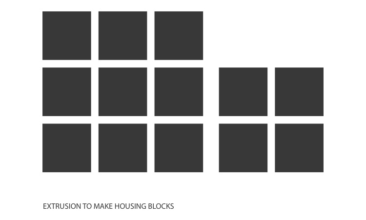
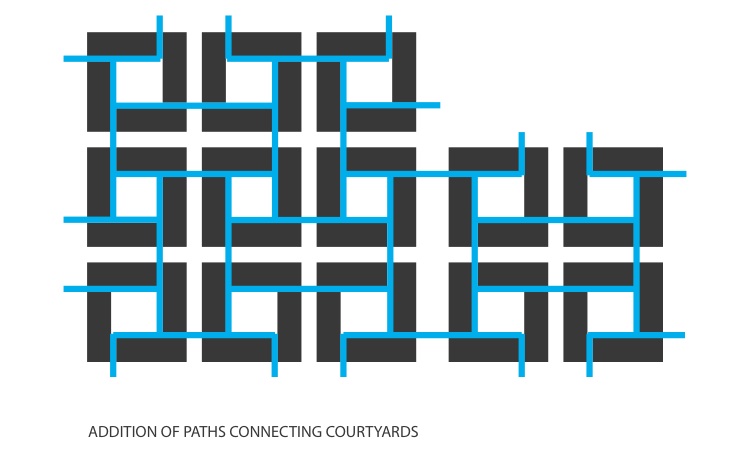
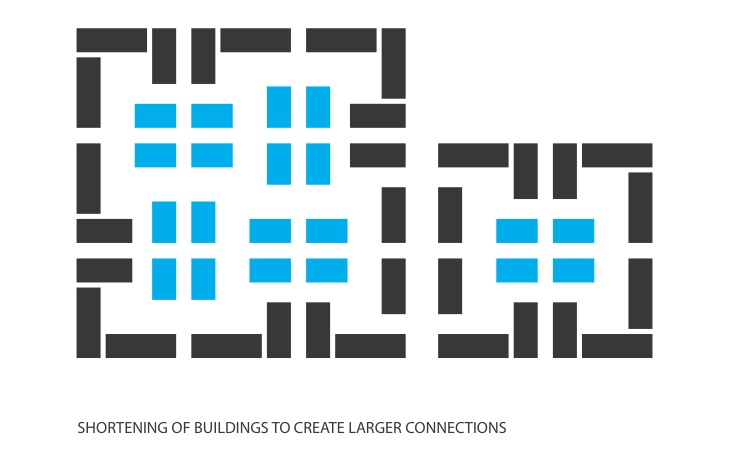
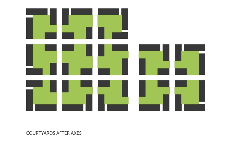
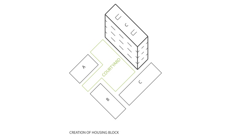
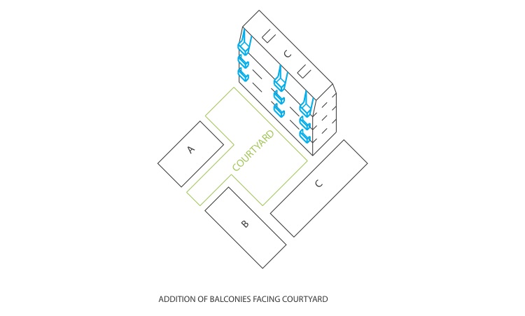
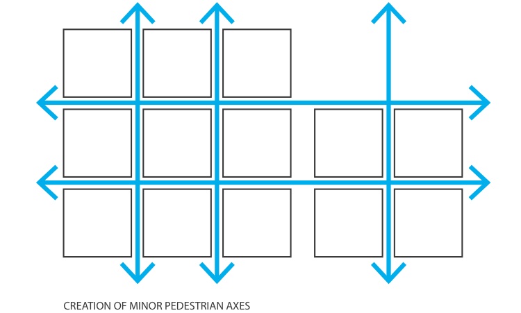
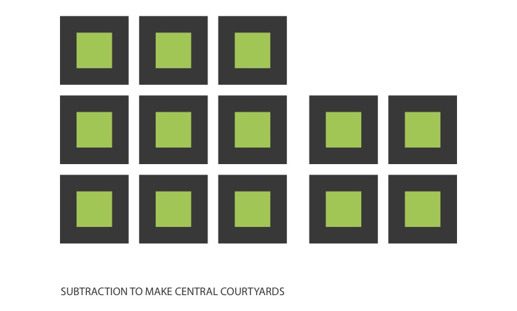
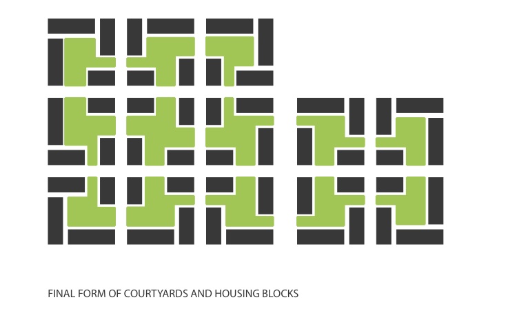
 Existing Program Separation: 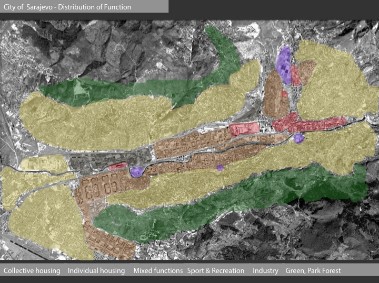 Existing Circulation and Missing Links: 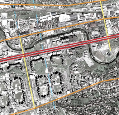 Directional Program Forces: 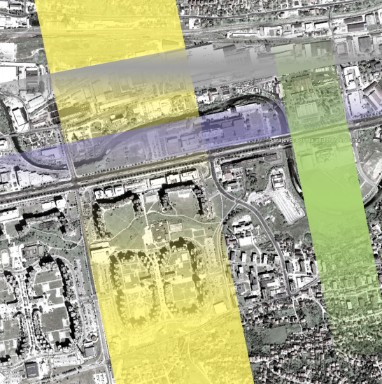 Figure/Ground - Existing Conditions: 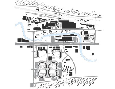 Figure/Ground - Housing Study - Socialist Housing: 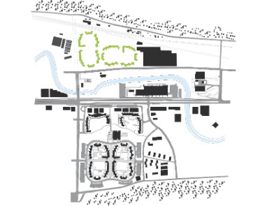 Figure/Ground - Housing Study - Austro-Hungarian Housing: 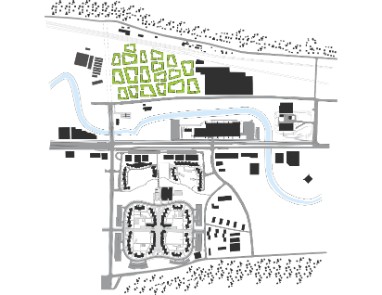 Diagrams showing how housing blocks were formed: 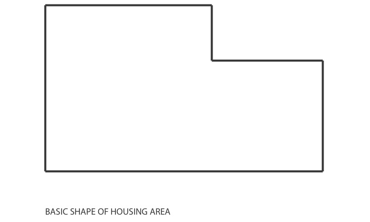
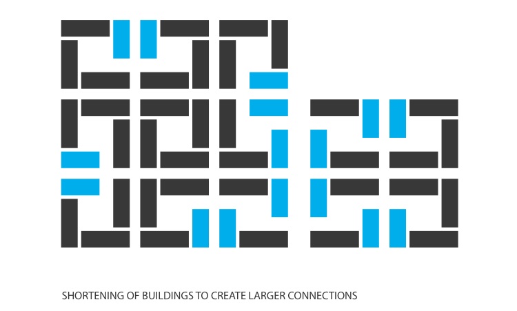
 Diagrams showing how the buildings were formed: 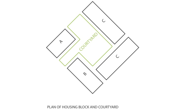
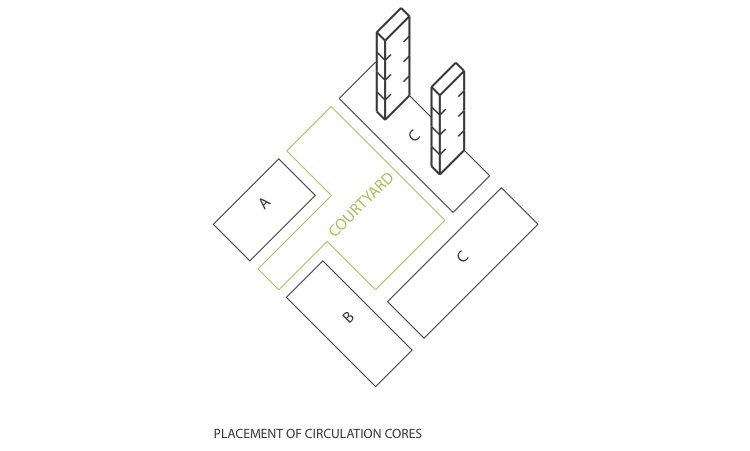
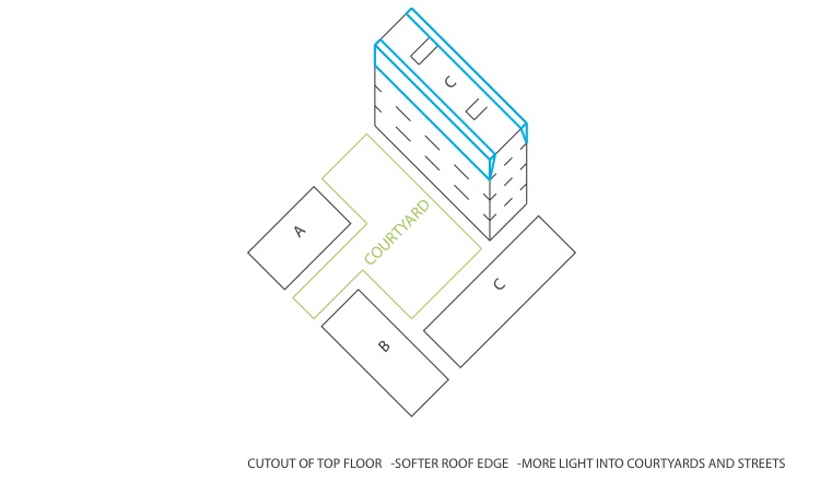
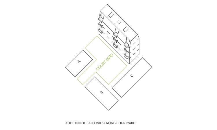
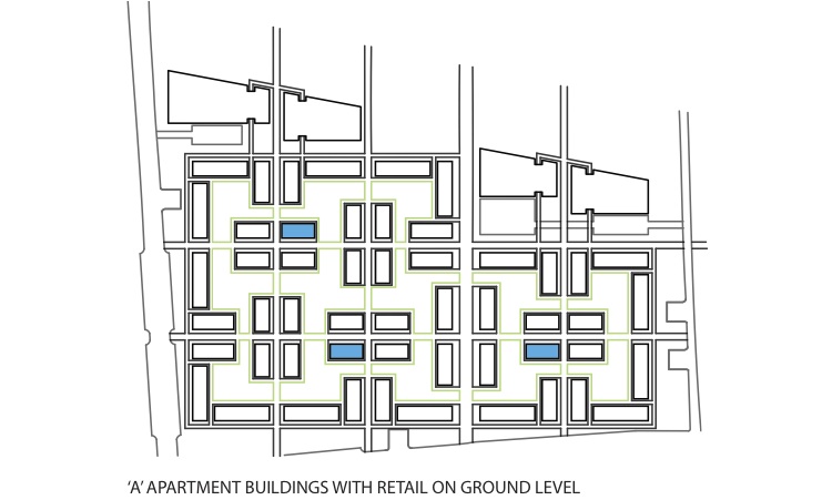
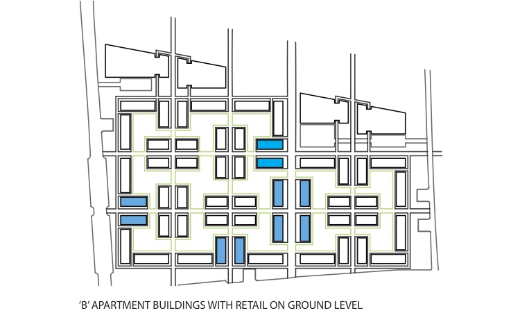
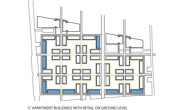
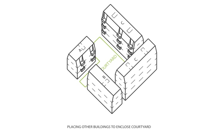 Diagrams showing placement of different buildings: 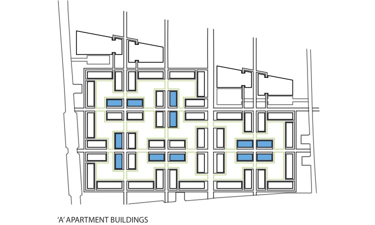
Detail Site Plan of Courtyard: 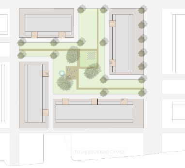 Aerial View 1: 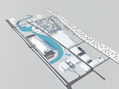 View Down Pedestrian Axis 1: 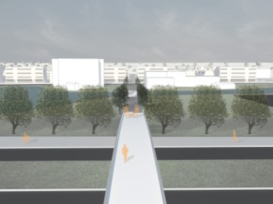 View of Courtyard: 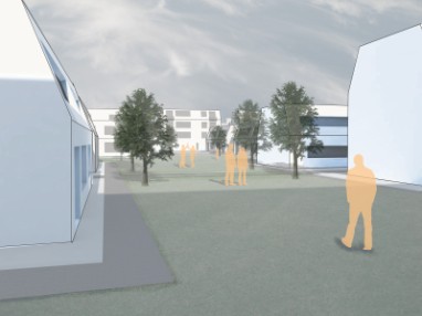 |
Recreation Strips: 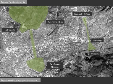 Program Separation: 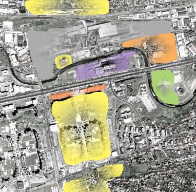 Figure/Ground - Deleted Buildings: 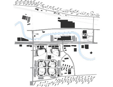 Figure/Ground - Housing Study - Informal Housing: 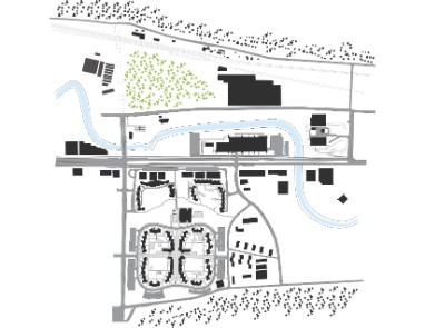 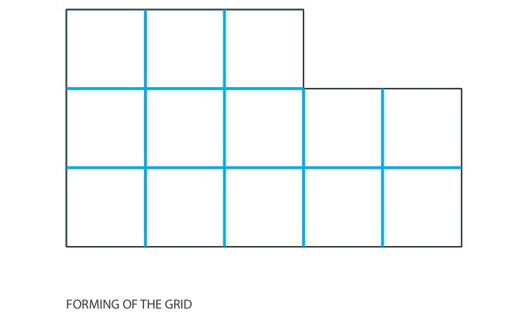

Aerial View 2: 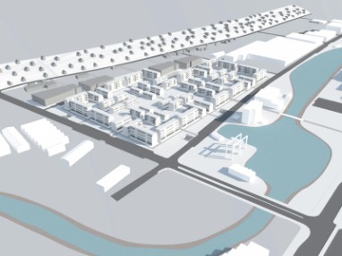 View Down Pedestrian Axis 2: 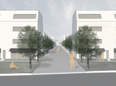 |
|